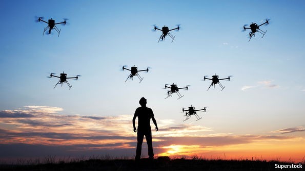
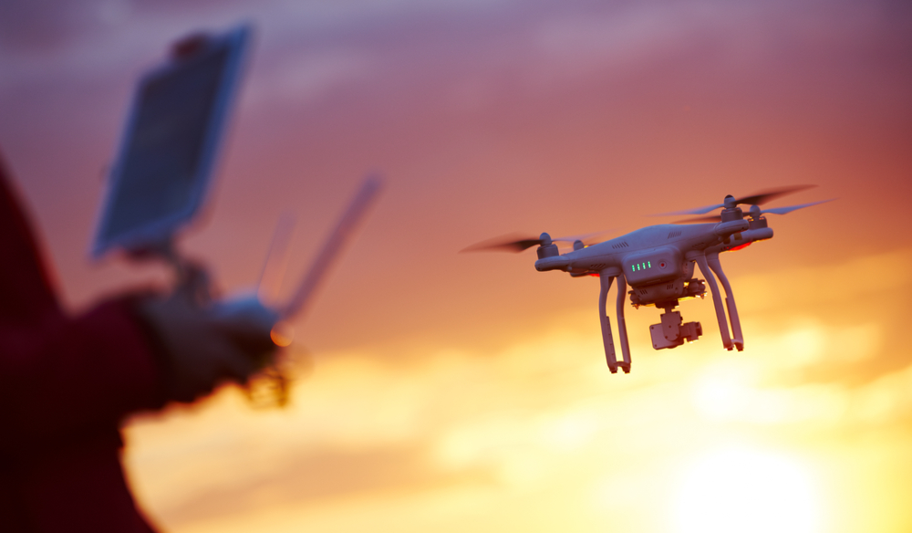
Remotely Piloted Aircraft Systems (RPAS) are commonly known as drones or UAVs. These systems operate under the laws established in the Canadian Aviation Regulations. RPAS are equipped with advanced technologies that enable them to perform aerial photography, surveying, crop management, mapping and visual inspections. In addition, they can be deployed for search and rescue operations and providing support during wildfire operations.
RPAS are highly versatile and can be used for a wide range of activities. They can capture high-resolution images and videos, applicable in various industries such as agriculture, construction, and real estate. RPAS can also be used to monitor wildlife, track weather patterns, and conduct research.
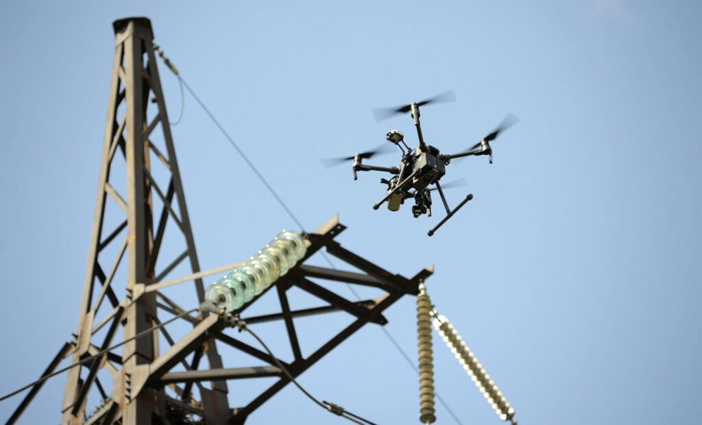
One of the critical advantages of RPAS is its ability to operate in hazardous and hard-to-reach areas. They can be used to inspect high-rise buildings, power lines, and oil rigs, eliminating the need for human operators to perform these tasks manually. In addition, RPAS are highly cost-effective, reducing the need for expensive equipment, personnel, and resources.
Overall, RPAS has emerged as a valuable tool for businesses and organizations looking to streamline operations and reduce costs. As technology advances, we can expect to see even more applications for RPAS in the future.
Services
- Aerial Photography
- Videography
- Surveying & Mapping
- Inspections
Aerial Photography
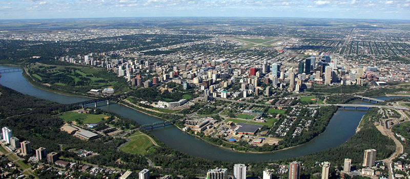
Aerial photography is the art of taking photographs from an aircraft or other flying object. It is used for various purposes such as cartography, surveillance, and reconnaissance. Aerial photography provides a unique perspective of the world and can capture stunning vistas that cannot be seen from the ground. It has become increasingly popular with the advent of drones, which allow for more accessible and affordable aerial photography.
Videography
Aerial videography is the practice of capturing video footage from an airborne platform, such as a helicopter, plane, or drone. It has become increasingly popular in recent years due to advancements in technology, making it more accessible and affordable. Aerial videography allows for unique perspectives and stunning views that cannot be captured from the ground. It is used in various industries, such as real estate, tourism, and filmmaking, to create compelling and engaging content. With its ability to capture breathtaking imagery, aerial videography has become an essential tool for visual storytelling.
Surveying & Mapping
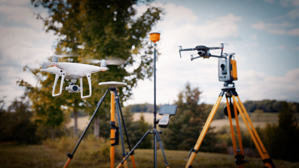
Drones are increasingly being used for surveying and mapping applications due to their flexibility, efficiency, and cost-effectiveness. Surveying with drones involves the use of Remotely Piloted Aircraft Systems (RPAS) equipped with high-resolution cameras and sensors to capture data and images of a particular area. This data is then processed to create detailed maps, 3D models, and other valuable information for various industries such as construction, mining, and agriculture.
Using drones for surveying has several advantages over traditional methods. Firstly, drones can cover large areas quickly and accurately, reducing the time and cost associated with manual surveying. Secondly, drones can access difficult-to-reach areas, such as steep cliffs and rugged terrain, that would be dangerous or impossible for human surveyors to access. This results in more comprehensive and accurate data collection. Finally, drones can capture high-resolution images and videos, providing a level of detail that was previously impossible to achieve.
Overall, using drones for surveying has revolutionized the surveying industry, enabling faster, safer, and more accurate data collection and mapping. As drone technology continues to advance, it is expected that their use in surveying and mapping will become more widespread and diverse.
Inspections
Drones have revolutionized the way inspections are carried out. They have become an essential tool for inspectors in various industries, ranging from construction to oil and gas. Using drones for inspections is beneficial because they can access areas that are difficult or impossible for humans to reach. This makes inspections faster, safer, and more efficient.
One of the primary advantages of using drones for inspections is that they can capture high-quality images and videos of the inspection site. The images and videos can be used to detect defects, damages, and other issues that may not be visible to the naked eye. This helps inspectors to make more informed decisions about repairs and maintenance, leading to better overall safety and performance.
Drones are also cost-effective. They eliminate the need for expensive equipment such as scaffolding, cranes, and lifts, which can be time-consuming and costly to set up and operate. Inspections using drones can be completed in a fraction of the time it would take to perform a manual inspection, reducing labor costs and minimizing downtime.
Furthermore, using drones for inspections is much safer than traditional methods. Inspectors no longer need to put themselves in harm’s way by climbing up ladders, walking on roofs, or working at heights. This minimizes the risk of accidents and injuries, making inspections safer and more efficient.
Using drones for inspections has many benefits, including safety, cost-effectiveness, and efficiency. As the technology continues to advance, we can expect to see drones become an increasingly essential tool for inspections in various industries.